Posted by Bob
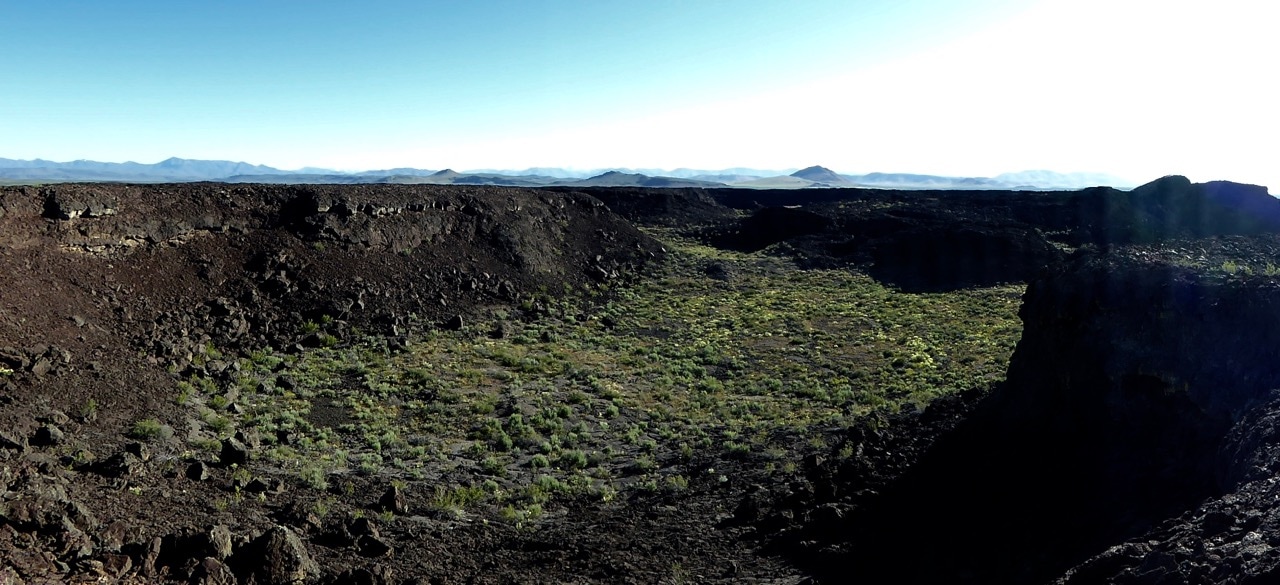
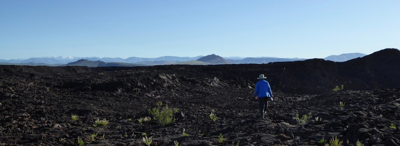
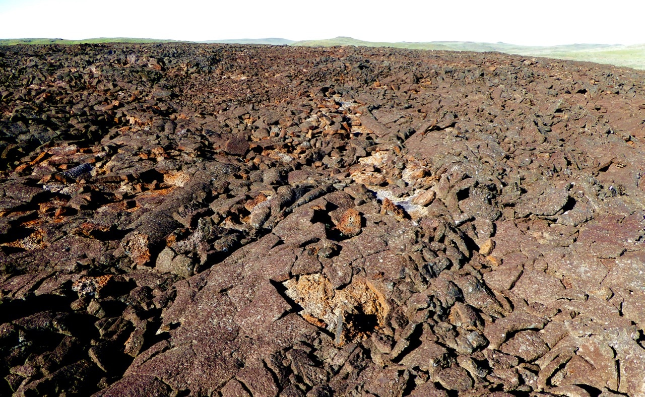
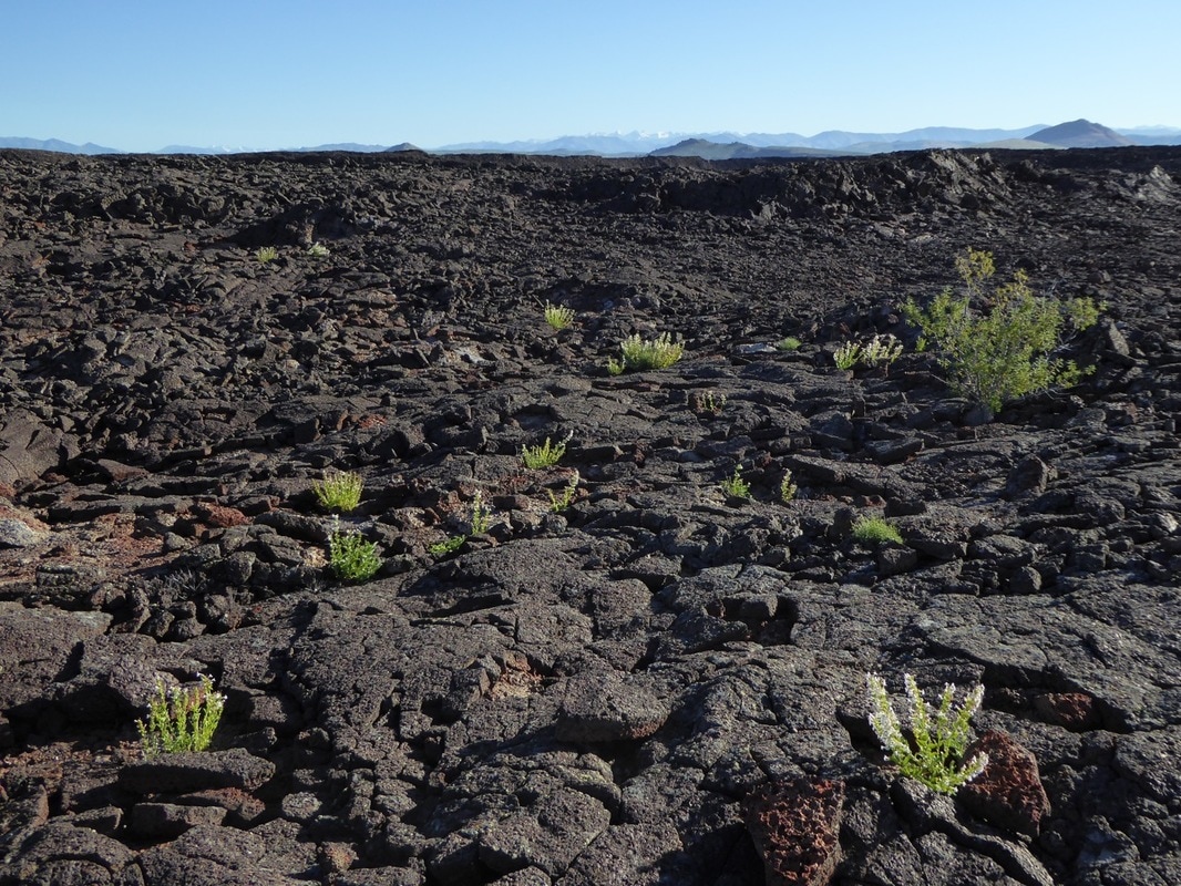
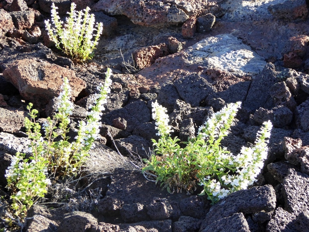
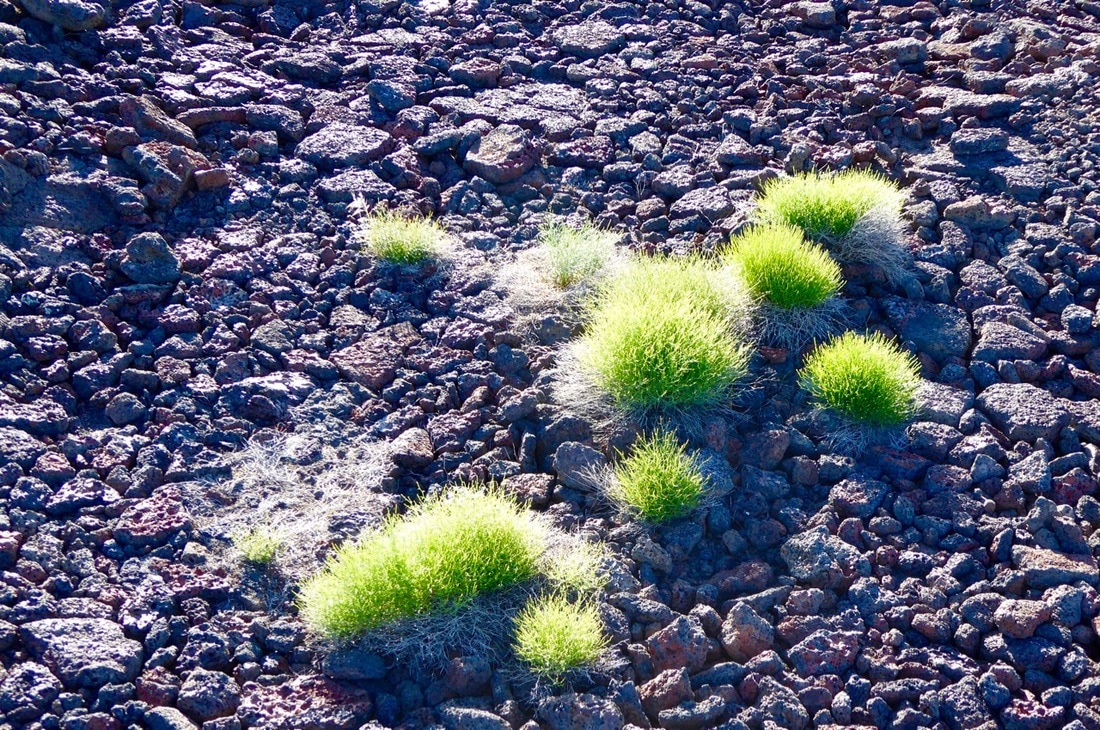
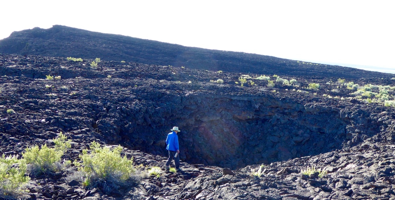
The beginning and end point of the horseshoe shaped route of our Home Country Walk About is the Snake River Plain, The arc of the Plain across southern Idaho marks the path of a hot plume rising from Mother Earth’s core that, during recent geologic time, traveled from west to east across the Plain. The plume is now below Yellowstone National Park. As the plume traveled beneath Idaho, it resulted in volcanism as recent as 2,000 years ago in places like Black Butte Crater near the start of our route and Craters of the Moon National Monument at the end. The result is a black cinder wilderness that’s forbidding and, in many places, impossible for stock to travel. Because the Plain is a signature piece of our country to the South, I wanted to link these places to our route in the mountains by hiking the lava wild too, beginning with a hike around Black Butte Crater.
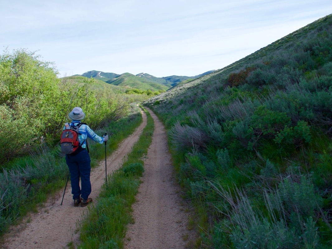
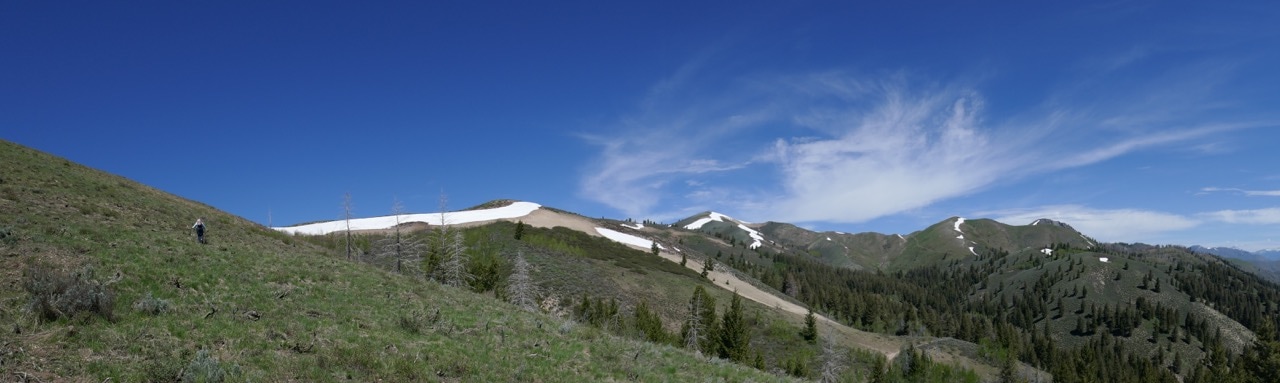
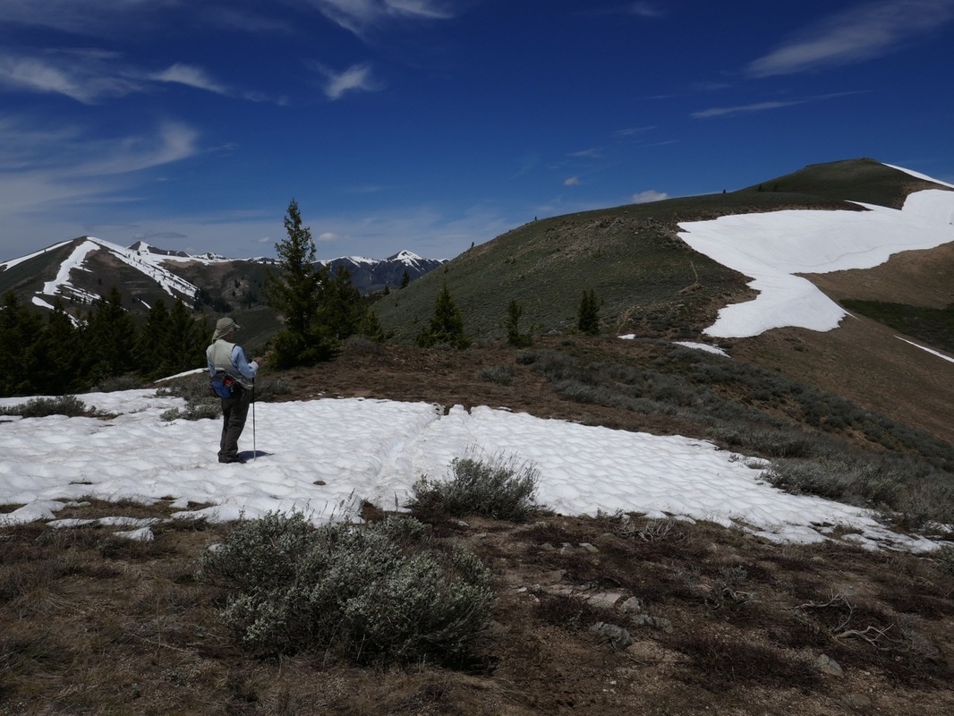
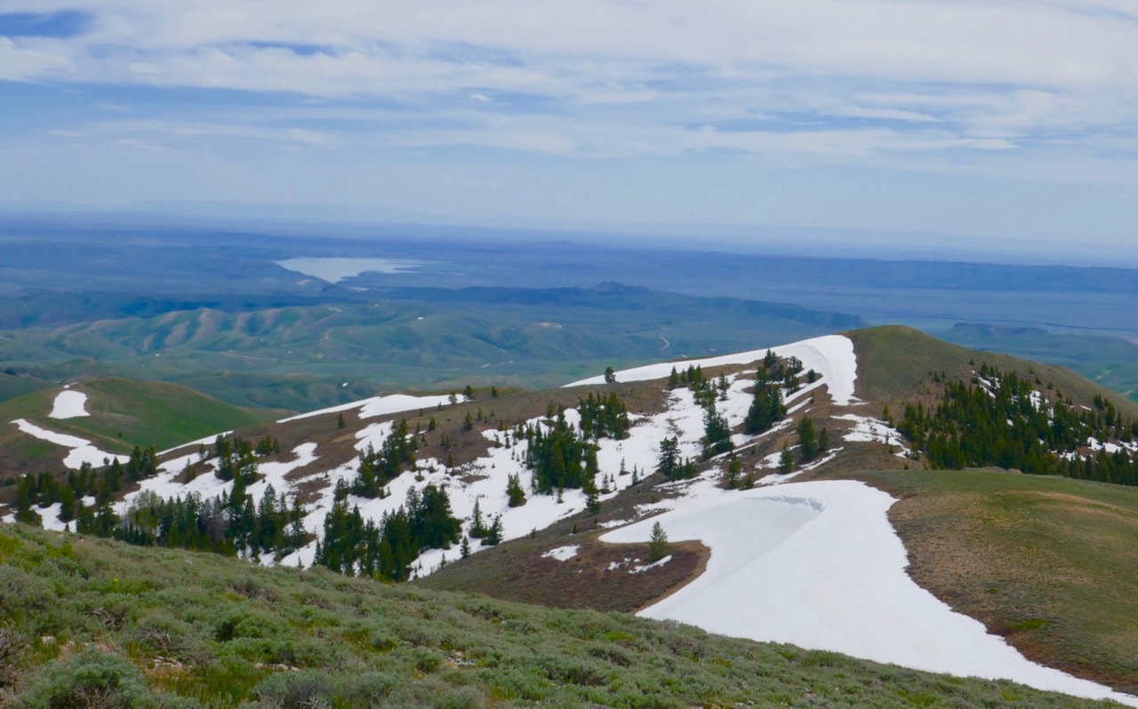
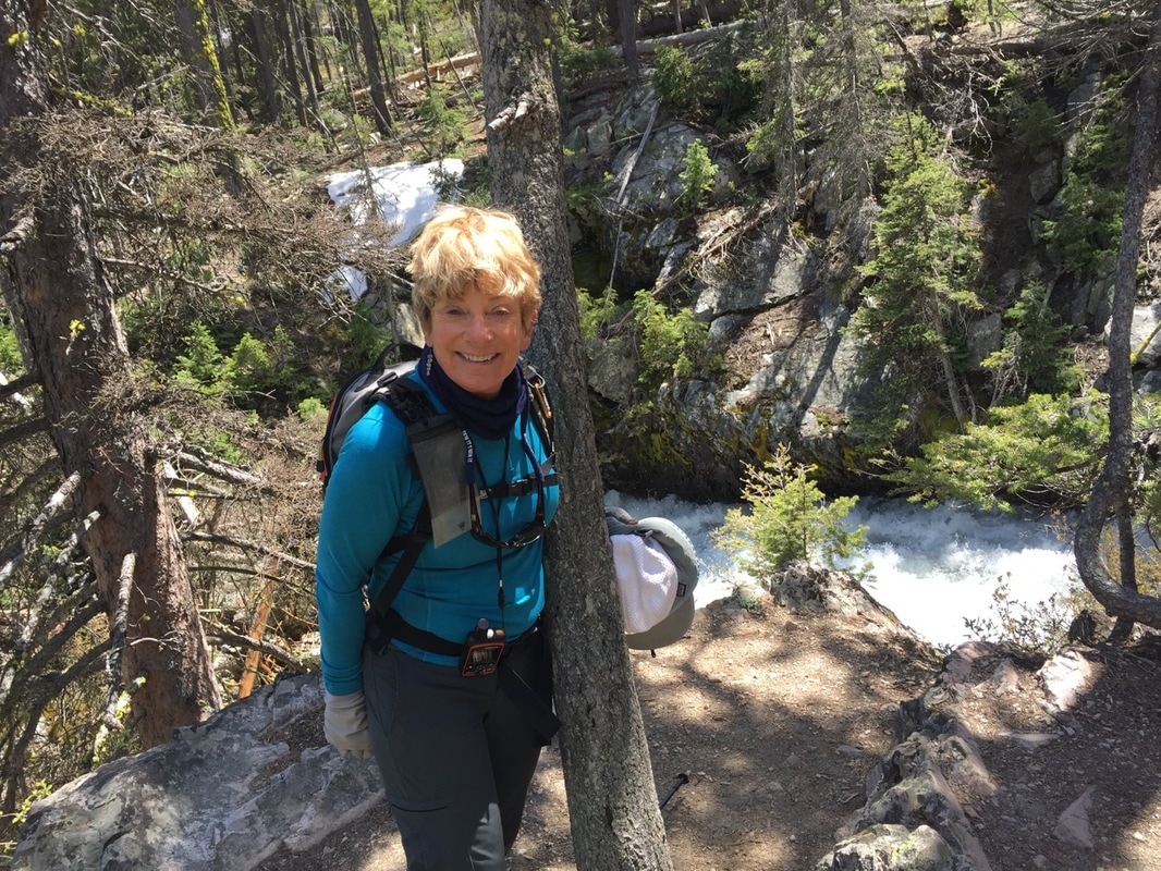
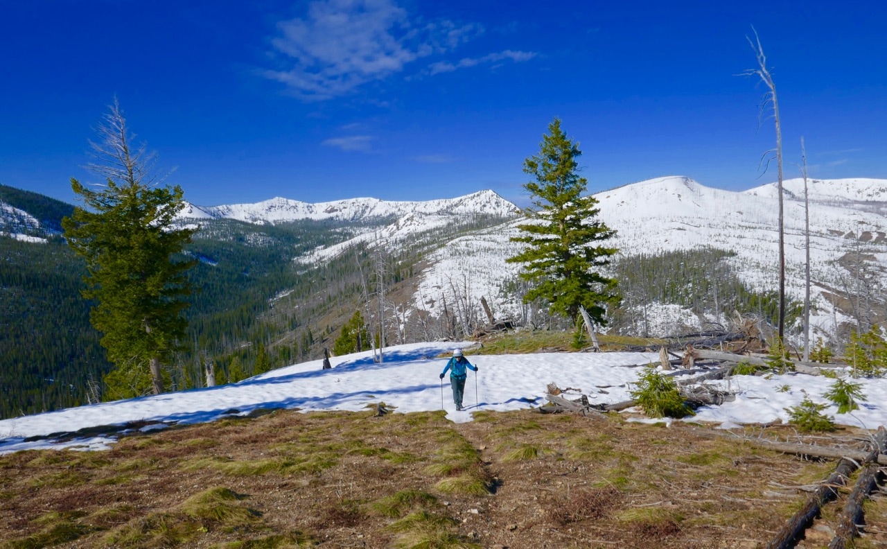
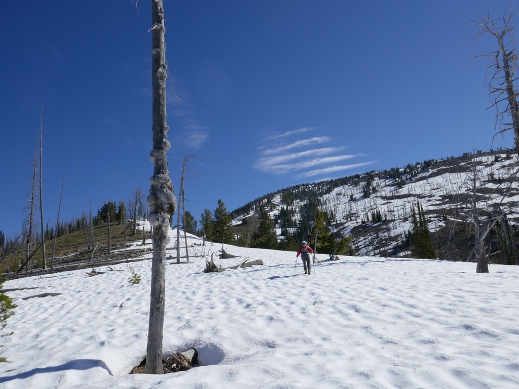
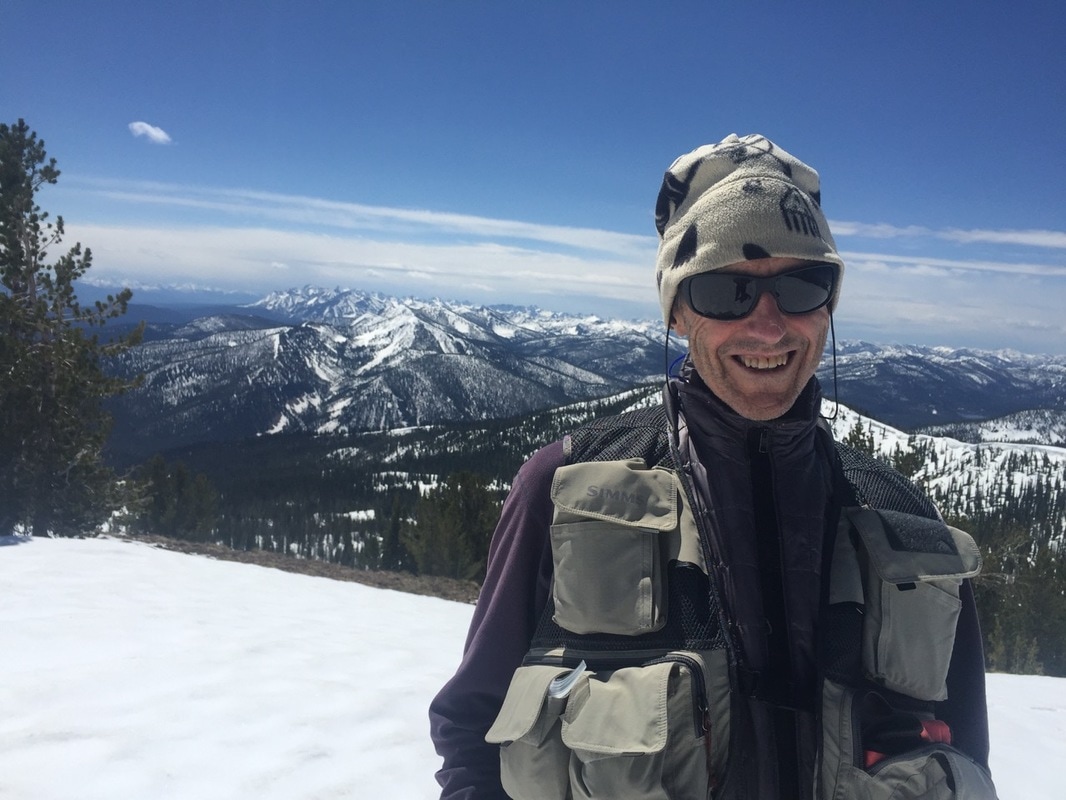
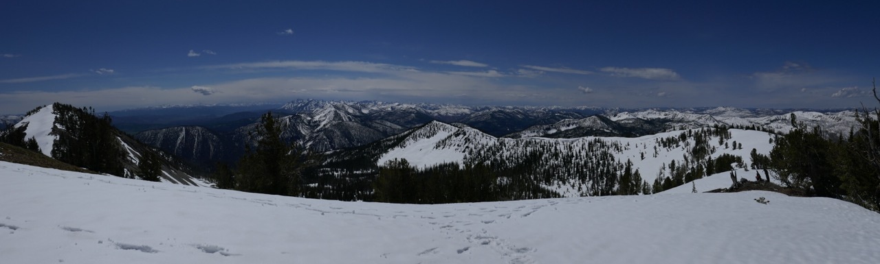
Where the Plain butts against the Smoky Mountains, we start with the llamas. We checked out Day One at that place, the hills rising to the Smoky crest and a dramatic view of the Plain to the south. To the North, the impact of this winter’s huge snowfall is evident everywhere. The peaks are snowbound and we anticipate a number of mountain passes will remain so into late July.
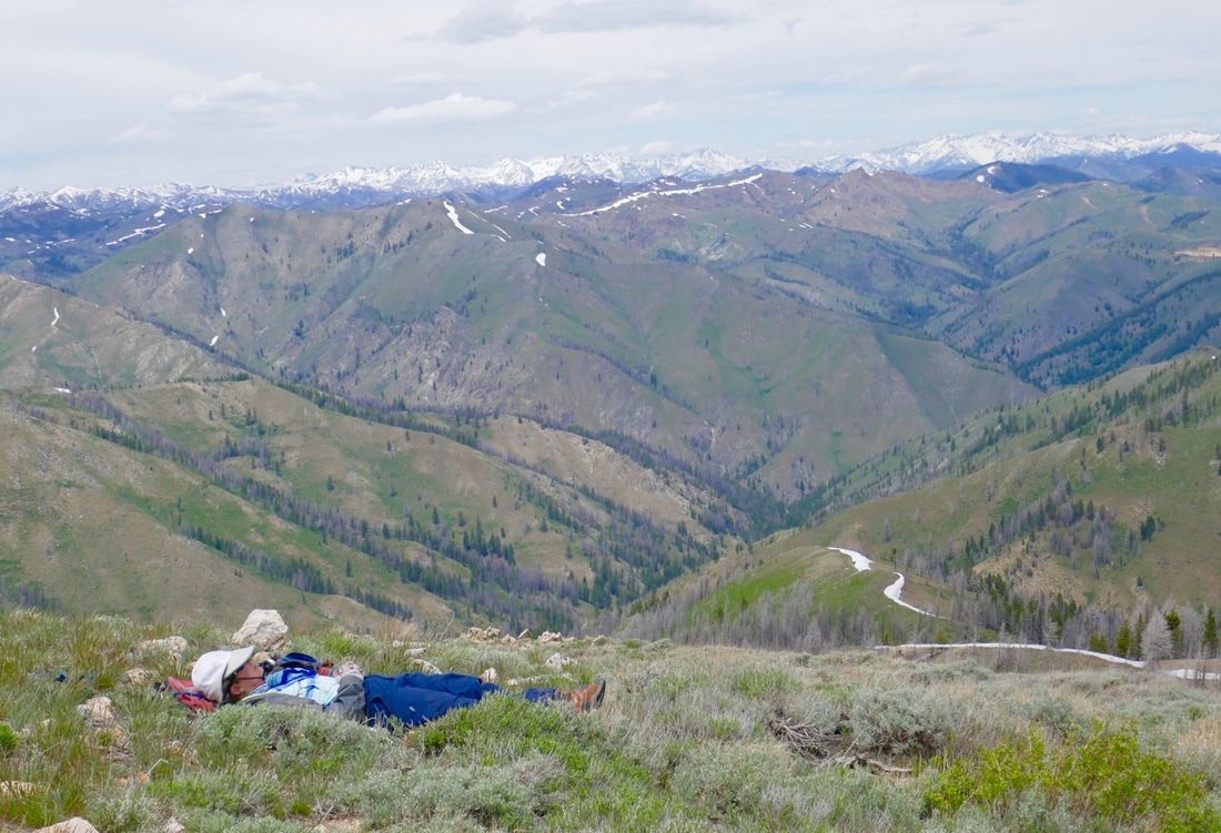
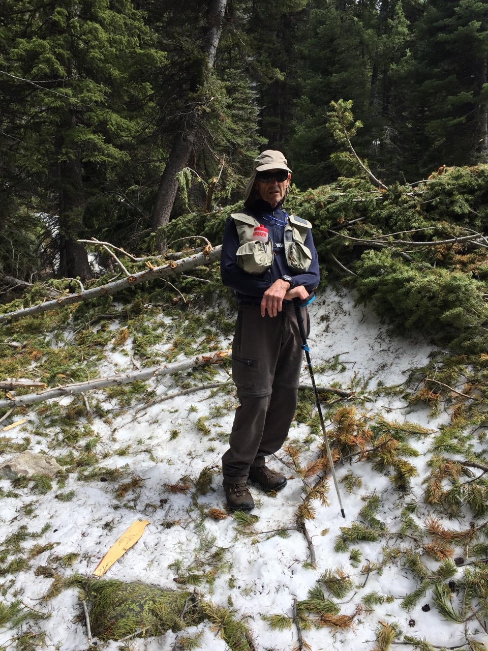
The flooding in the Wood River Valley corridor is historic, the river still at flood stage as of this writing. In the far country, erosion of wilderness trails and backcountry roads is common. Flood and avalanche damage has resulted in numerous tree fall. So many trees have come down and trails washed out that we’re forced to abandon some of our route for trails in more traveled corridors like the Middle Fork of the Salmon. The Forest Service predicts these will be the only routes they can clear and repair this summer.
The beginning and end point of the horseshoe shaped route of our Home Country Walk About is the Snake River Plain, The arc of the Plain across southern Idaho marks the path of a hot plume rising from Mother Earth’s core that, during recent geologic time, traveled from west to east across the Plain. The plume is now below Yellowstone National Park. As the plume traveled beneath Idaho, it resulted in volcanism as recent as 2,000 years ago in places like Black Butte Crater near the start of our route and Craters of the Moon National Monument at the end. The result is a black cinder wilderness that’s forbidding and, in many places, impossible for stock to travel. Because the Plain is a signature piece of our country to the South, I wanted to link these places to our route in the mountains by hiking the lava wild too, beginning with a hike around Black Butte Crater.
Where the Plain butts against the Smoky Mountains, we start with the llamas. We checked out Day One at that place, the hills rising to the Smoky crest and a dramatic view of the Plain to the south. To the North, the impact of this winter’s huge snowfall is evident everywhere. The peaks are snowbound and we anticipate a number of mountain passes will remain so into late July.
The flooding in the Wood River Valley corridor is historic, the river still at flood stage as of this writing. In the far country, erosion of wilderness trails and backcountry roads is common. Flood and avalanche damage has resulted in numerous tree fall. So many trees have come down and trails washed out that we’re forced to abandon some of our route for trails in more traveled corridors like the Middle Fork of the Salmon. The Forest Service predicts these will be the only routes they can clear and repair this summer.